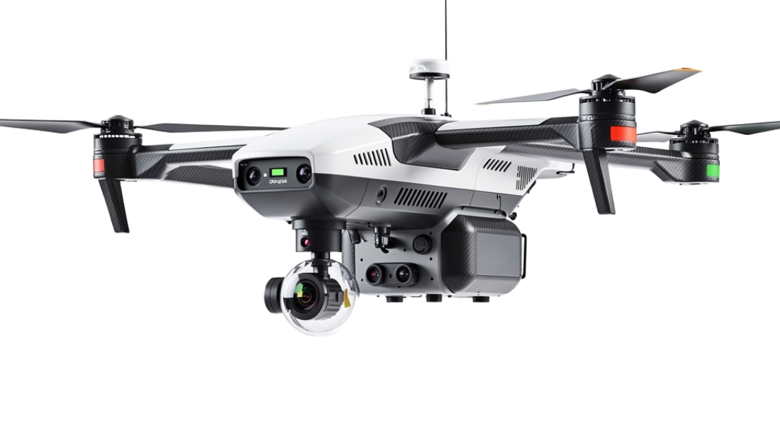
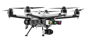
ATSD-8800 – Advanced Topographic Survey Drone
The ATSD-8800 is a high precision aerial mapping platform designed for topographic surveying, terrain modeling, and geospatial intelligence through AI powered analytics and autonomous flight operations.
SKU:
ATSD-8800-001
Solution:
Industrial Automation
Industry:
Defense, Manufacturing & Industrial
Product Type:
Camera
Features:
AI-enabled
Detailed Hardware Specifications:
Camera System: Ultra HD mapping camera with multispectral and thermal imaging capabilities
Survey Technology: High accuracy LiDAR and photogrammetry systems
AI Analytics: Terrain classification, elevation modeling, feature extraction, and land analysis
Survey Coverage: Up to 800 square kilometers per mission
Flight Endurance: Up to 18 hours continuous operation
Navigation System: GPS, RTK positioning, INS, and autonomous waypoint navigation
Sensor Suite: LiDAR, multispectral, thermal, EO camera
Mapping Accuracy: Centimeter level positioning and elevation accuracy
Related Products


Smart Solutions for Every Industry


Intelligence at Every Feature
-

Access Control
-

Adaptive
-

Aerial
-

AI-enabled
-

Analytics-focused
-

Anti-tailgating
-

Biometric
-

Emergency Integration
-

Environmental Monitoring
-

Forensic-grade
-

GPS Tracking
-

Hazardous Area Certified
-

High-accuracy
-

High-Security
-

High-Speed Processing
-

High-throughput
-

High-zoom
-

Industrial IoT
-

Industrial-grade
-

Integrated
-

Laser Projection
-

Military-grade
-

Mobile / Portable
-

Multi-modal
-

Multi-sensor
-

Portable
-

Predictive Analytics
-

Privacy-compliant
-

Radar Integrated
-

Radiation Detection
-

Real-time
-

RFID
-

Rugged
-

Safety-focused
-

Search & Rescue
-

Secure
-

Security-focused
-

Tamper-proof
-

Thermal Imaging
-

Weatherproof
-

Wireless
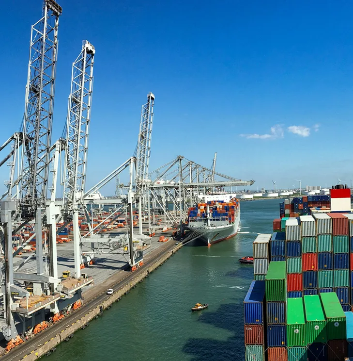
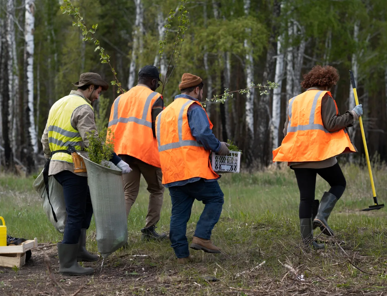
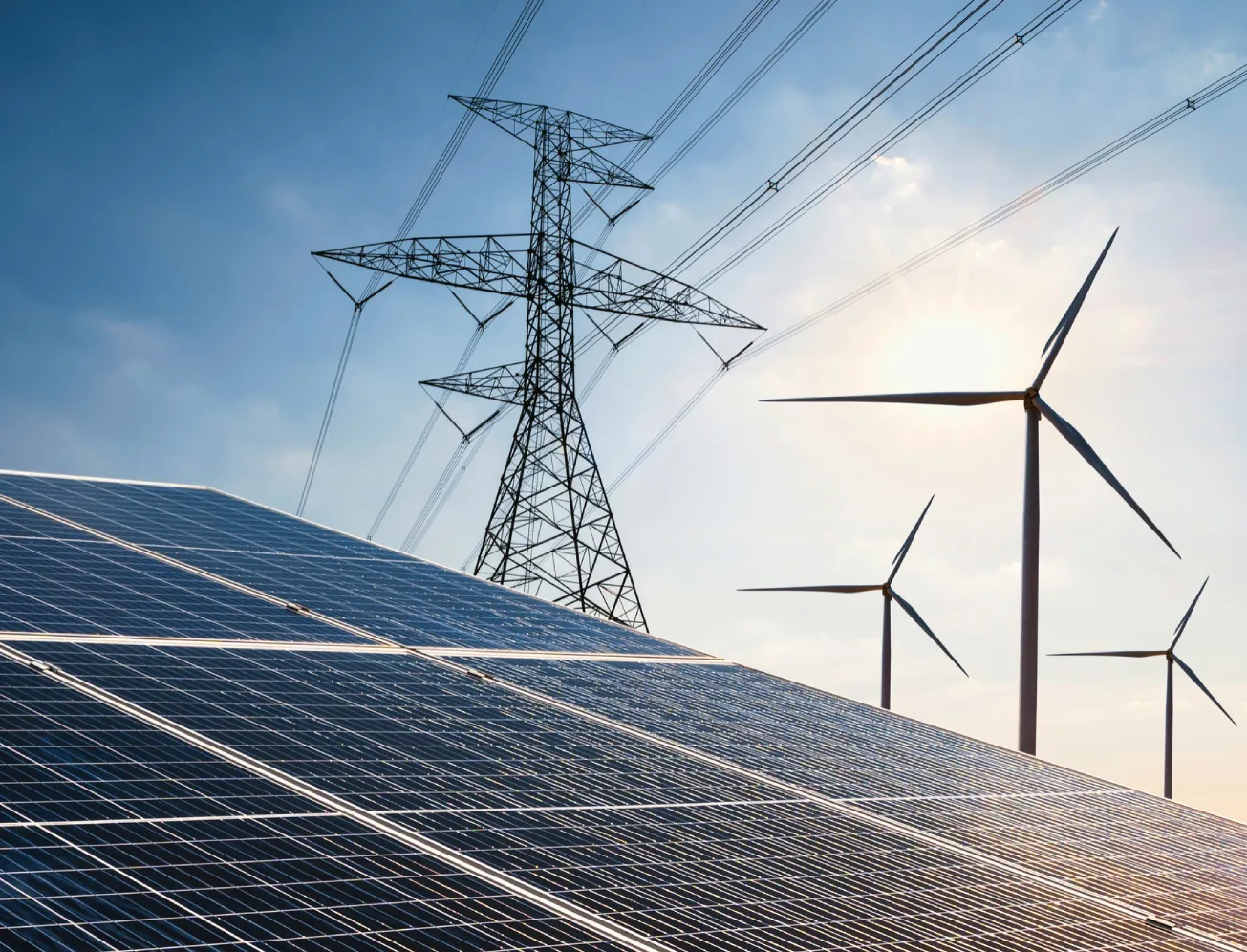
Intelligent Solutions for Critical Infrastructure
AI-powered hardware and integrated systems designed to secure, monitor, and optimize operations across airports, traffic, campuses, ports, public safety, and industrial environments.


Get in Touch with Our Experts